
Your cart is currently empty!
Drone Accessory|DJI|Zenmuse L2|CP.EN.00000505.02
15285,38 €
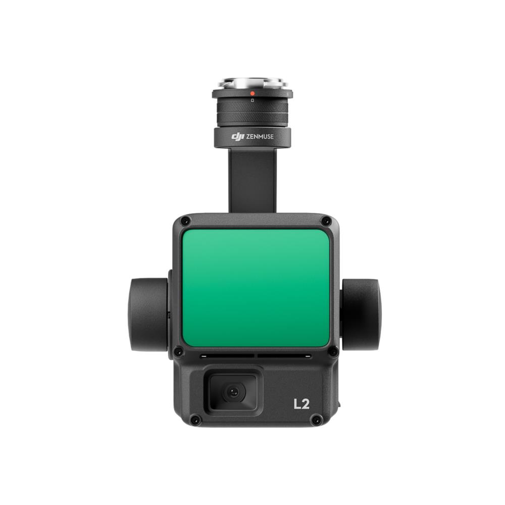
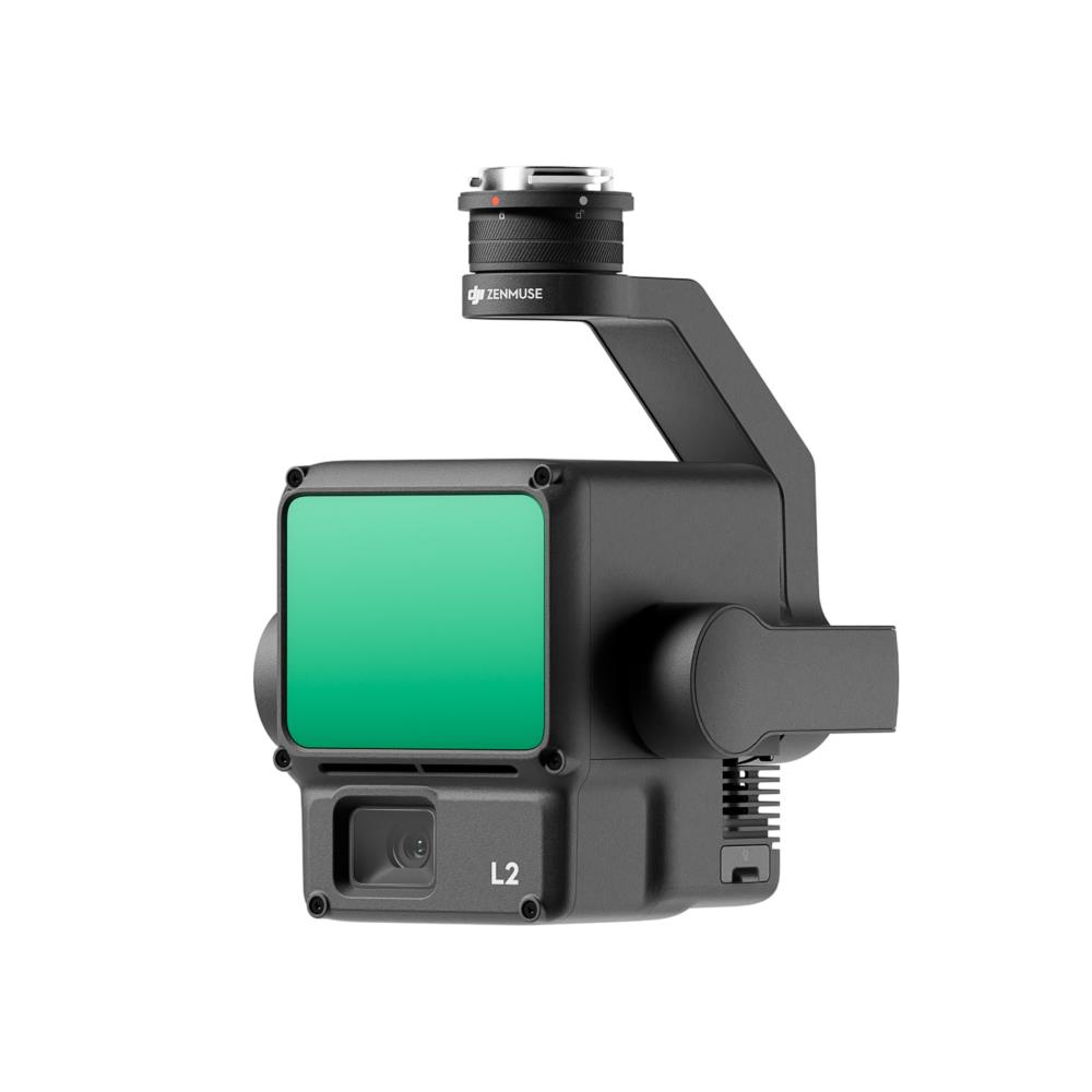
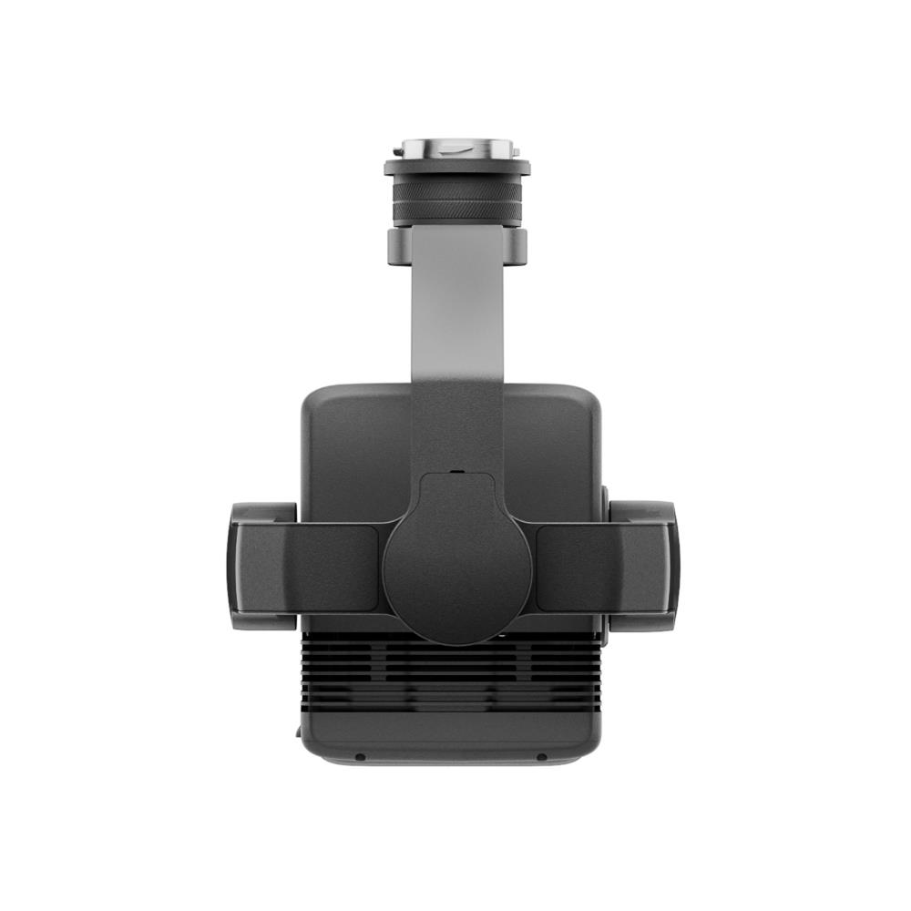
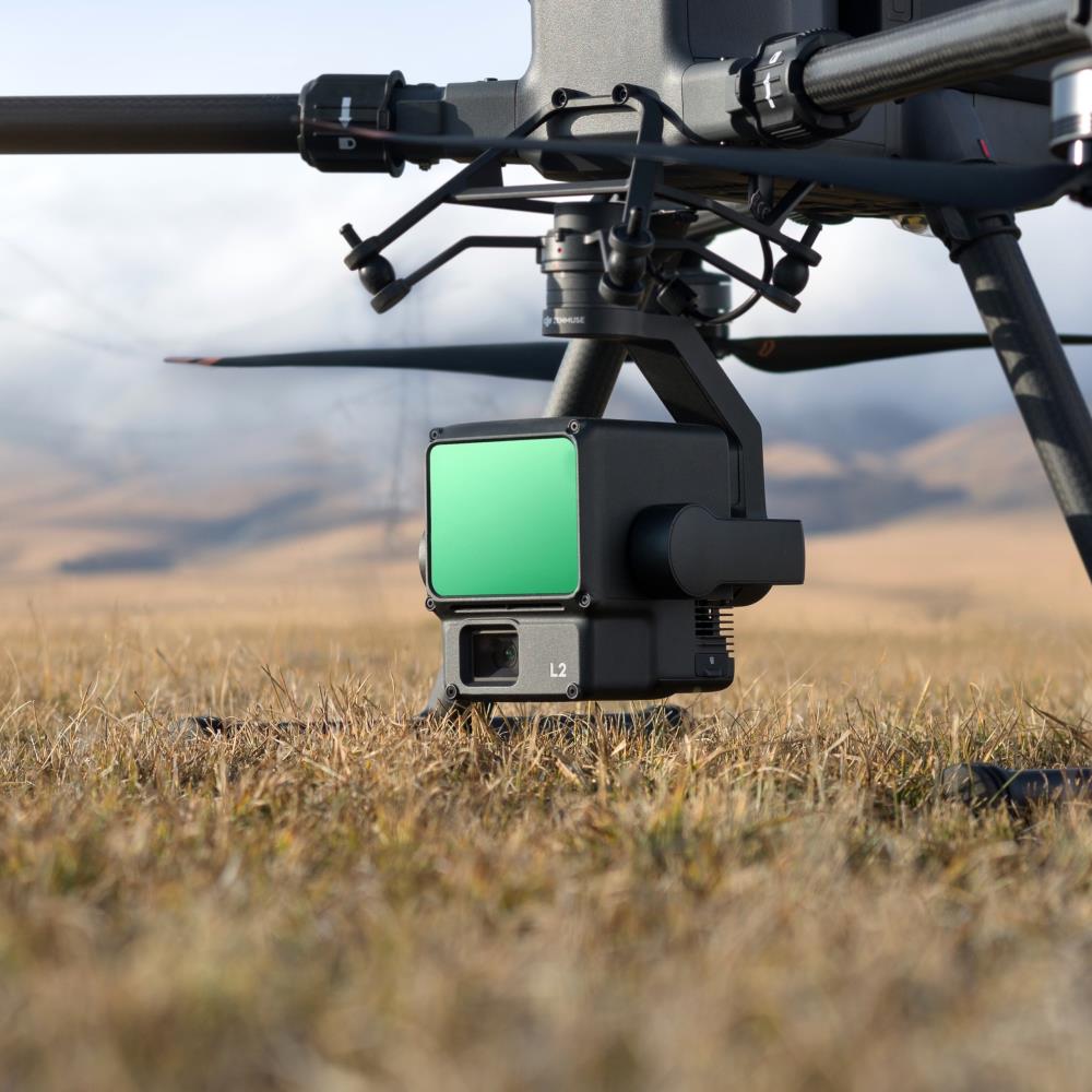
High-Precision Aerial LiDAR System Zenmuse L2 Zenmuse L2 integrates frame LiDAR, a self-developed high-accuracy IMU system, and a 4/3 CMOS RGB mapping camera, providing DJI flight platforms with more precise, efficient, and reliable geospatial data acquisition. When used with DJI Terra, it delivers a turnkey solution for 3D data collection and high-accuracy post-processing.
1 in stock
Description
High-Precision Aerial LiDAR System Zenmuse L2
Zenmuse L2 integrates frame LiDAR, a self-developed high-accuracy IMU system, and a 4/3 CMOS RGB mapping camera, providing DJI flight platforms with more precise, efficient, and reliable geospatial data acquisition. When used with DJI Terra, it delivers a turnkey solution for 3D data collection and high-accuracy post-processing.
Additional information
| Model name | |
|---|---|
| Drone product line | |
| Drone accessory type | |
| Operating temperature range | |
| Dimensions | |
| Unit Box Width | |
| Unit Box Length | |
| Unit Box Height | |
| Bränd |
Related products

DRONE ACC LOW-NOISE PROPELLERS/AIR 3 CP.MA.00000702.01 DJI
12,85 €
Drone Accessory|DJI|Mavic Mini Propellers|CP.MA.00000133.01
12,85 €
DRONE ACC PROPELLERS/AVATA 2 CP.FP.00000153.01 DJI
9,64 €
Drone Accessory|DJI|FPV Goggles V2 Charging cable USB-C|CP.FP.00000038.01
9,64 €
Drone Accessory|DJI|FPV Control Sticks|CP.FP.00000029.01
9,64 €